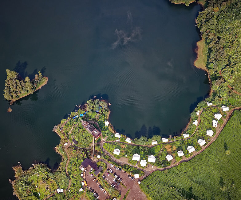
Aerial photography has other uses aside from real estate planning and promotion and events marketing. Modern equipment made this more possible, not to mention easier.
Now that we can basically use drones to take aerial photographs, more and more people are now turning to this kind of photography to promote, inspect, advertise, and manage their businesses.
Cartography
Cartography is the study and practice of making maps. Before, cartographers make maps by going to the areas and mapping them out manually. They draw on papers and reproduce the maps for distribution.
Map users then simply trust the cartographers’ vision and understanding of the locations—the roads, the streets, the highways, the bridges, and the waterways.
Now, it is easier to produce maps because by taking aerial photos, cartographers can have a better and more accurate look at the places
Land-use planning
When real estate companies want to develop a particular area, they need to survey the land first before starting the planning stage.
That will tell them the terrain of the land—where the waterways are, where the sewage system passes through, and where the limits of the property are.
It will also help those who want to build commercial properties, so they can see the scope and limitations of the land.
Archaeology
Archaeology is the study of human activity through the recovery and analysis of material culture. The activity helps us analyze prehistoric human activity and behavior.
Remember those Egyptian and Roman artifacts we love looking at in museums? How did you think an archaeological team was able to dig those up? Through the surveillance and monitoring of lands via aerial photography.
Movie production
Aerial photography gives movie production better value by focusing on certain elements such as shot selections, angles, lights, textures, and balance. There is more drama when a movie uses aerial shots and it gives the stories a more emotional angle.
Even when drones are not yet trendy, movie production houses have been using aerial photography and videography to add depth to the angles and shots.
Environmental studies
Aerial photos are also vital for environmental studies. When environmental teams need to survey a land for a particular issue, aerial photography is the best method to inspect the land better. If there is a problem with any bodies of water, it would be hard to target and address what the problem is.
Aerial photography would make it easier for teams to investigate the source of the problem and thus, they will be able to create a sound strategy to address the problem.

