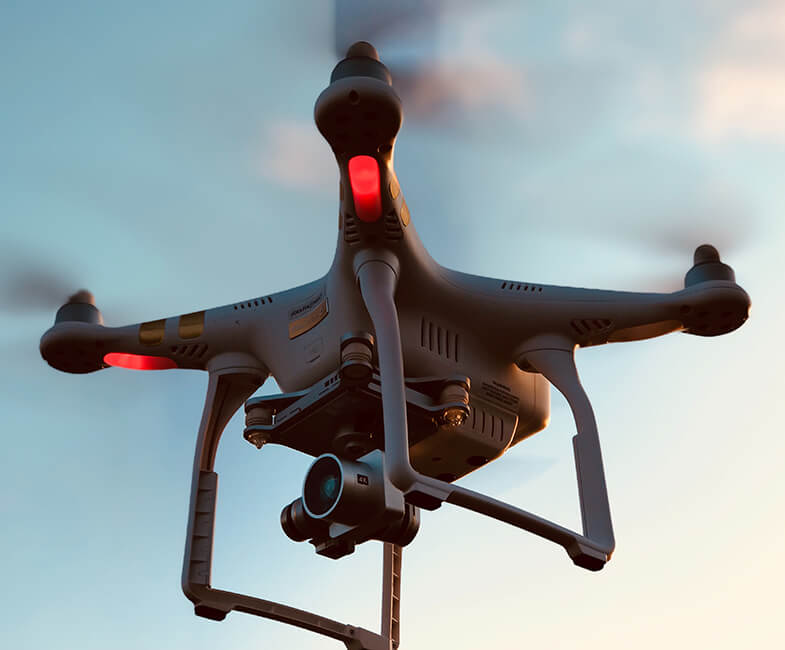
Over the past decade, we have witnessed the explosion of Lakeland aerial videography —from cinematic wedding videos to the documentation of our travel memories. Thanks to cheap drones and cameras, anyone with an extra $100 can get a drone and start a career in it. But if there’s one industry that uses drones purely for professional and life-saving schemes, it is the police department and the military.
Map Most Frequented Locations
Aerial videos monitor and study highly frequented areas such as malls, parks, and schools. In the case of a fire, a terrorist attack, or any other emergency situation, the police will use the data collected from surveying such locations to understand the specific situations they’ll be facing. They can map out the location in their minds and create a plan accordingly.
Documenting Crime Scenes
Sometimes, the police don’t have enough time to comb through a crime scene. Using Lakeland aerial videography, they can create an orthomosaic map. This is an accurate documentation of the crime scene created by stitching images together. At one time, a policeman was able to recover a bloody cellphone using the orthomosaic map. This eventually led to the capture of the suspect in a homicide investigation.
Survey Disaster Areas
In times of natural disasters, the drones can be used to survey the sites. The first responders can use the first data collected to know which areas need help the most and what areas to avoid. Drones are used mostly during fires, storms, earthquakes, and other major disasters. The aerial data collected from drones can help the emergency team evacuate people and direct resources where they are needed.
Aid Search and Rescue Teams
Drones and cameras can help search and rescue teams located missing persons. They can cover a wide area quicker than any other ground vehicles. Drones can help save a life because they can locate people and give them the medical attention they need. Sometimes, drones are also used to send emergency kits or food packages to stranded people at sea or the forest.
Manage Traffic Schemes
Drones can help manage traffic schemes. The data collected by drones can be used to study what kind of traffic schemes are needed in urban cities where traffic is usually heavy during peak hours. They can also be used during accidents by directing the emergency response team to the easiest route toward the scene of the accident.
Defusing Bombs and Collecting Hazardous Chemicals
Instead of sending a bomb expert who has to put his life in harm’s way to defuse a bomb, drones with a robot’s arms attached to it can do the work. Drones are also used to collect hazardous chemicals and test them to evaluate the threat. Not only are drones saving people’s lives by defusing bombs and testing hazardous chemicals. They are also eliminating the need to send actual people to do such dangerous jobs.

